Case Study |
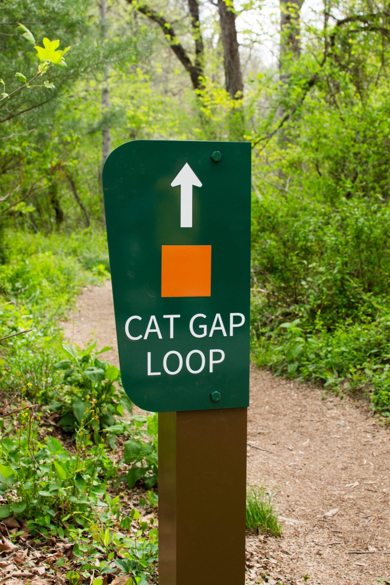
The Pisgah Conservancy (TPC), in collaboration with the U.S. Forest Service (USFS), proudly unveiled a new trailhead kiosk and wayfinding signage at the Cat Gap Loop trailhead in the Pisgah Ranger District (PRD) of Pisgah National Forest. The new installations, including signage along both the Cat Gap Loop and John Rock trail systems, aim to improve the hiking experience for thousands of visitors annually.
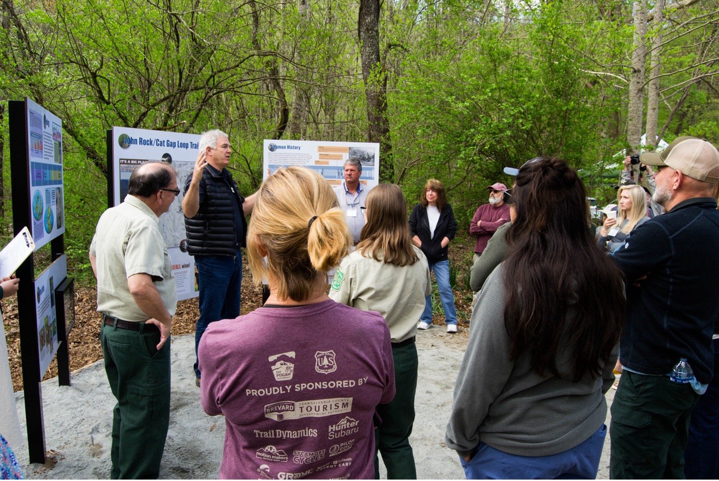
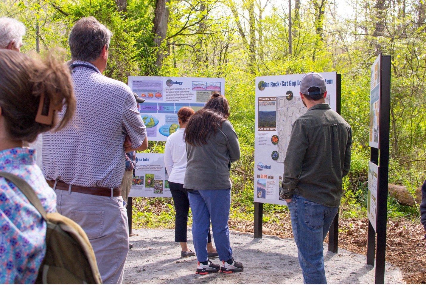
The unveiling ceremony, held on April 24, 2024 saw the participation of approximately 50 attendees, including TPC personnel, supporters, and USFS staff, who came together to celebrate this significant addition to one of the forest's most popular trail systems.
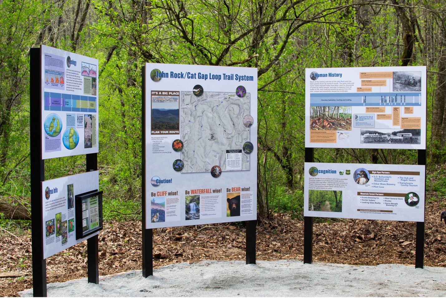
The previous kiosk, which had been in place for years, featured an outdated map that covered a large portion of western North Carolina, extending into Tennessee, which confused visitors looking for more localized information. The new kiosk, by contrast, offers a trail-specific map to better serve the needs of hikers and outdoor enthusiasts.
"Before this, we had a kiosk with a map that showed vast areas of western North Carolina all the way into Tennessee. Now, you have a high-quality map focused on this trail system, as well as maps on larger wayfinding signs at intersections along the trail,” said John Cottingham, TPC’s Founder and Executive Director.
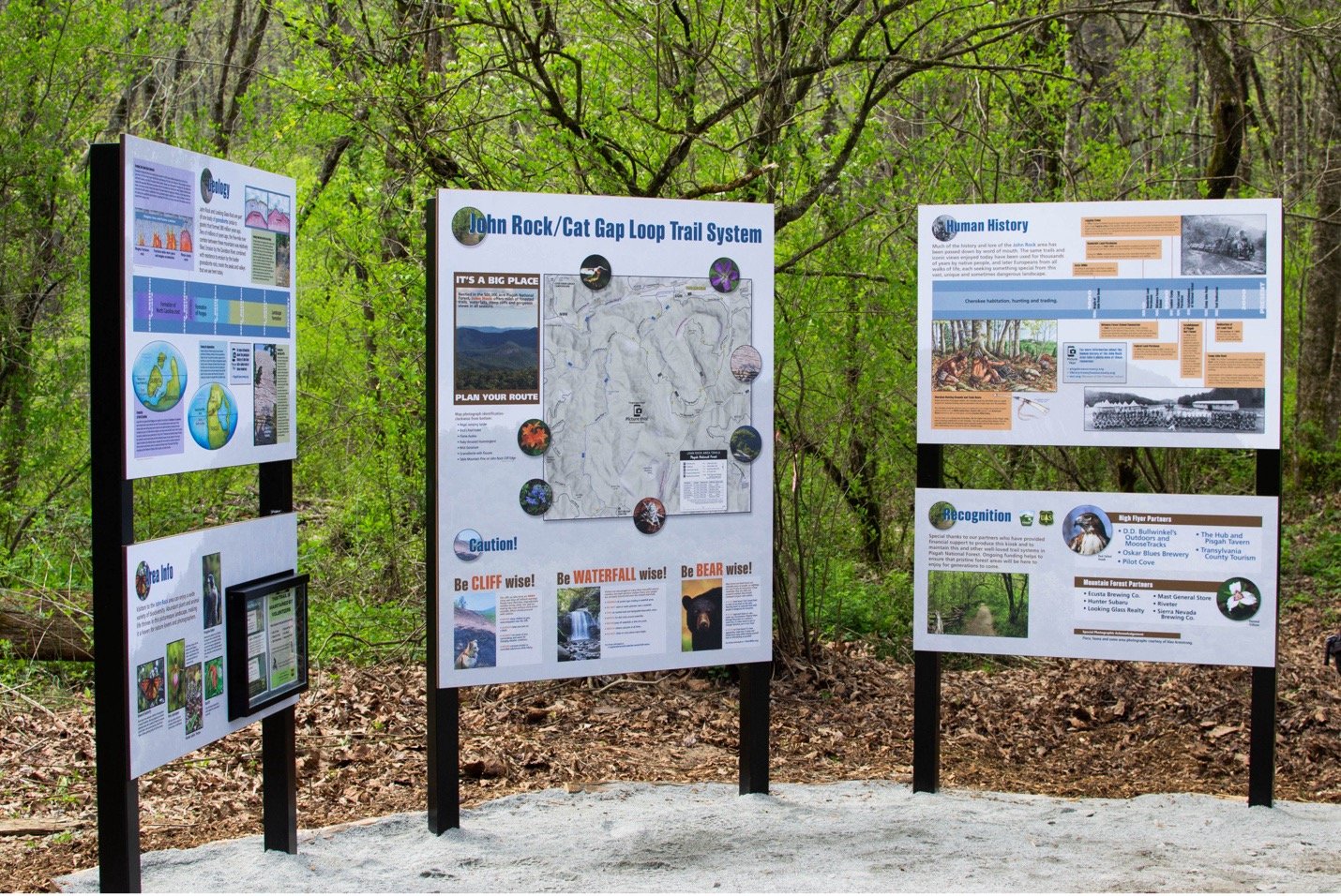
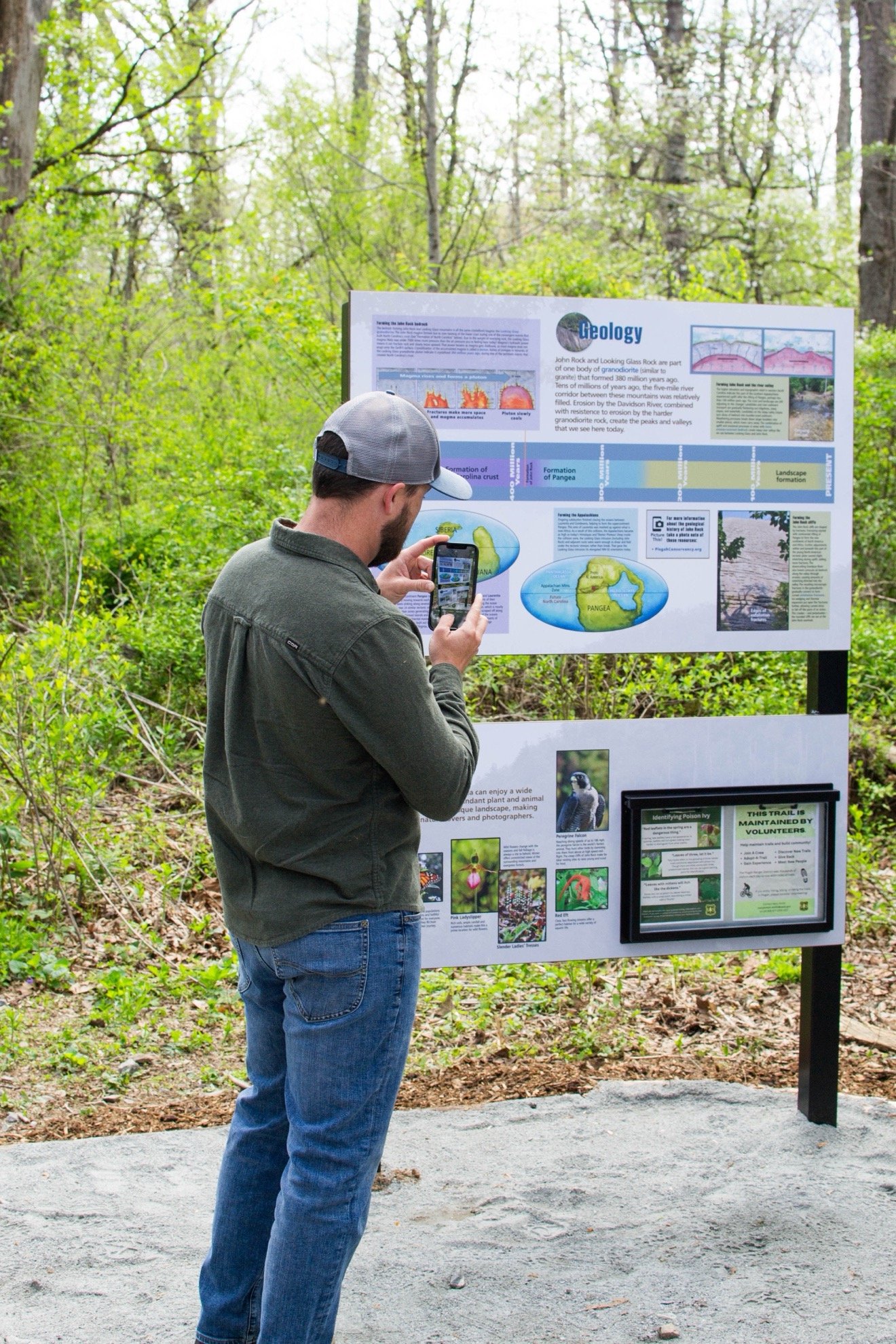
In addition to the detailed map, the three-paneled kiosk offers information about the area’s geology, human history, and vital safety tips for visitors. The goal is to not only enhance visitors' understanding of the area but also to ensure their safety as they explore the trails.
This long-anticipated project required years of planning and dedication from both TPC and USFS. “This has been in the works for a long time. It has taken a lot of intelligent people who care about this place and want visitors to have a good experience for us to reach this point,” said Jeff Owenby, Recreation Director of the PRD.
Financial support for the project came from eleven local businesses, in addition to funds contributed by TPC and USFS. TPC also made sure to recognize all content creators and vendor partners who supported the project, listing them on their website.
A special thank you goes to iZone Imaging, whose invaluable contributions helped bring the wayfinding signage to life. Their expertise and collaboration have resulted in clear and accessible signage that will help visitors safely navigate through the trails and will last for years to come.
The new kiosk and signage mark the completion of TPC’s first major visitor information project, with more improvements planned for later this spring. Additional signage will be installed on the Art Loeb and Ivestor Gap trails around Black Balsam Knob and Tennent Mountain to further improve visitor safety and wayfinding.
The Pisgah Conservancy is a 501(c)(3) nonprofit organization dedicated to partnering with the U.S. Forest Service to provide essential resources for the benefit of Pisgah and its visitors, ensuring its beauty and accessibility for future generations. For more information, visit www.pisgahconservancy.org.
From Peter:
The Pisgah Conservancy Unveils New Trailhead Kiosk and Wayfinding Signage
Brevard, NC - The Pisgah Conservancy (TPC) and the U.S. Forest Service (USFS) proudly unveiled a new kiosk at the Cat Gap Loop trailhead and new wayfinding signage along the Cat Gap Loop and John Rock trail system within the Pisgah Ranger District (PRD) of Pisgah National Forest.
On April 24, approximately 50 attendees including TPC personnel and supporters and USFS personnel gathered to celebrate the addition of the new signage to this heavily trafficked trail system.
The previous kiosk, which was removed in early April, featured outdated information and a map that displayed areas well beyond this trail system.
“Before this, we had a kiosk with a map that showed vast areas of western North Carolina all the way into Tennessee. Now, you have a high-quality map focused on this trail system, as well as maps on larger wayfinding signs at confusing intersections along the trail,” said John Cottingham, TPC’s Founder and Executive Director.
In addition to the detailed trail system map, the new three-paneled kiosk includes information about the area’s geology and human history, safety information for visitors, and more. This project has been in development for several years and is intended to improve visitor safety and recreation.
“This has been in the works for a long time. It has taken a lot of intelligent people who care about this place and want visitors to have a good experience for us to reach this point,” said Jeff Owenby, Recreation Director on the PRD.
The new kiosk and wayfinding signs on the Cat Gap Loop and John Rock trail system were made possible by financial contributions from eleven local businesses, as well as funds contributed by TPC and the USFS. All contributing businesses, content contributors, and vendor partners who supported this project are recognized on TPC’s website.
This marks the completion of TPC’s first visitor information project. Later this spring, new signage will be installed along the Art Loeb and Ivestor Gap trails on and around Black Balsam Knob and Tennent Mountain to further improve visitor safety.
The Pisgah Conservancy is a nonprofit 501(c)(3) whose mission is to work in partnership with the U.S. Forest Service to provide key resources for the benefit of Pisgah and its visitors for generations to come. For more information, visit www.pisgahconservancy.org.
Photos Courtesy of: Twistleaf